


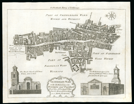
Lot 10301A – 1772c. printed map of Aldersgate ward with its divisions
Lot 10301A – 1772c. printed map of Aldersgate ward with its divisions
Lot 10301A – 1772c. printed map of Aldersgate ward with its divisions
Great Britain » Postal History
Estimate
400 – 500 GBP
Auction date
Tue 16 Jun 2026 at 10:00 (Europe/Zurich)
19d 7h 1m 37s before pre-bidding ends
Description
1772c. printed map of Aldersgate ward with its divisions into preceints and parishes, showing St Martins Le Grand, the eventual site of th General Post Office; superb condition and makes a lovely addition to the story of a postal history exhibit. Rare so fine.
Auction
Additional scans and images are being uploaded on a continuous basis, and the complete set of illustrations for all lots will be available by 1 June 2026.
Should you require further images after this date and are unable to find the material you need online, please do not hesitate to contact us.
For further information regarding this lot, please contact us.